
Being totally jobless during monsoon continues!
So when I tell people that I am going to Naneghat, I hear a lot of “How many times will you go there? Are you crazy?” And frankly speaking that’s kind of true. My college attendance will be less than the times I have been to Naneghat. (*sigh*) It’s actually one of my regular stargazing sites so once a month visit is compulsory!
Naneghat (2500 ft above sea level, easy grade trek) is actually a mountain pass, connecting Thane and Pune districts. It goes all the way back to 2nd century BC where it was used as a trade route between Kalyan and Pratishthan.

To reach at the base from Mumbai area, one must have to take a bus going towards Malshej/Junnar/Ahmadnagar. You have to tell the bus driver to stop at Naneghat route (there’s a board mentioning it, it’s also quite well known). It will take around 2 hours from Kalyan (60 km distance).
There’s actually not much of a chance to lose your way or so as this place recently got quite developed. Once you start your hike from the base, there are two check posts, a garden. After 15 min walk from base,you will come to a diversion.

Take the left turn as there’s no chance of taking any wrong turn on this route. (The other one is kind of a long cut.) The route goes through dense forest and steep walk little bit, just enough to make you breathe heavily.
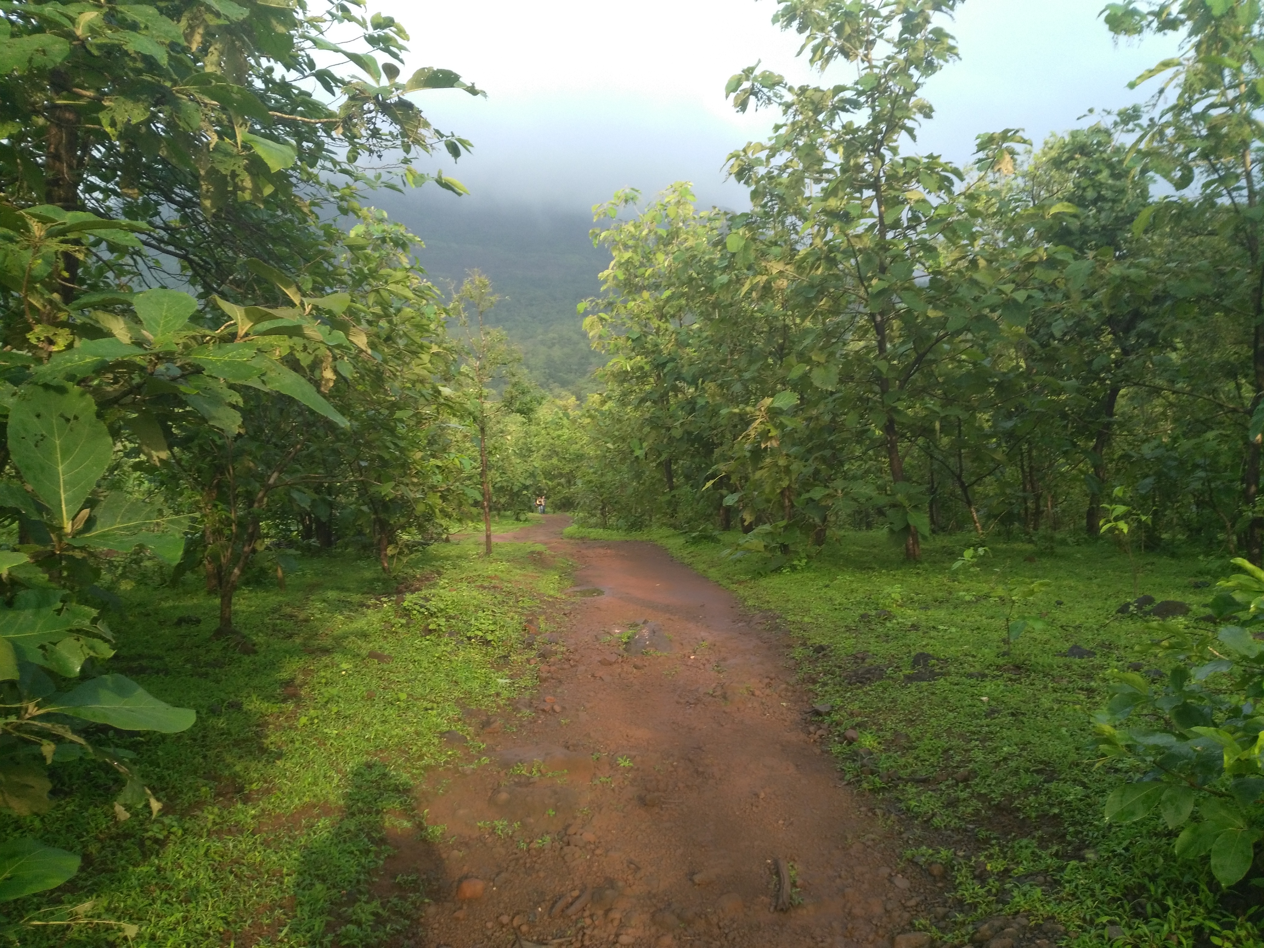
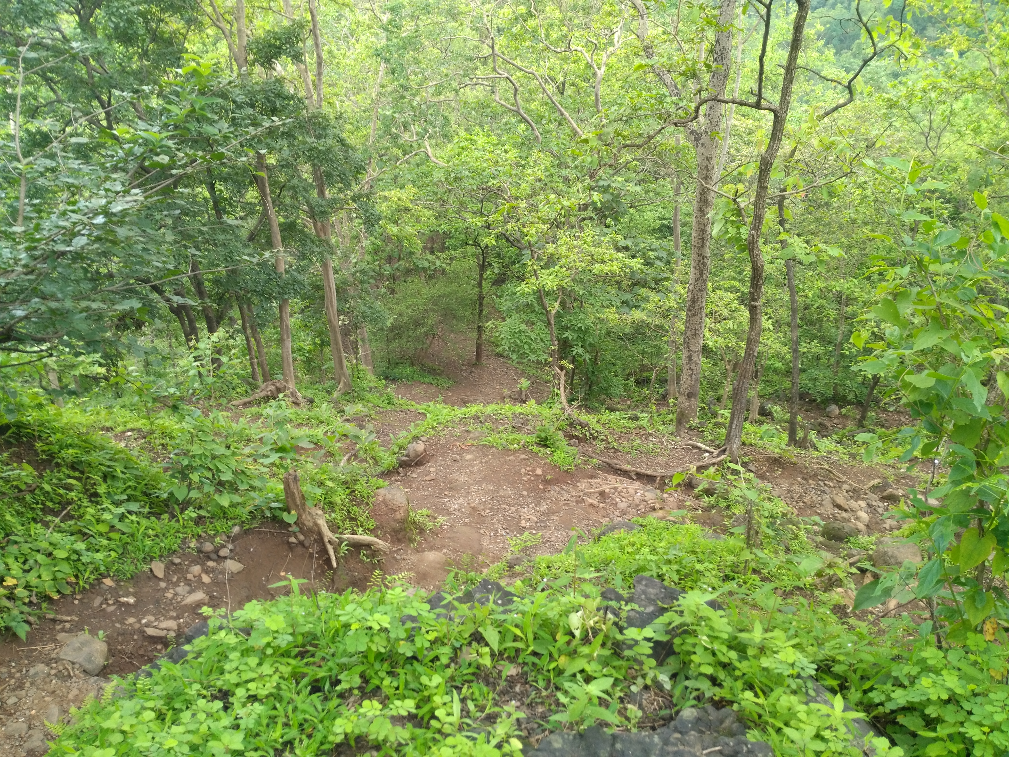
After 45 min hike from the base, taking this route, you will come to a small plateau/clearing. There’s a well and a small pond developed recently nearby.
Halfway through the trek!

After this point, there are well made steps (constructed just during this summer) all the way to the top. Kind of resembles like Lohgad. *sigh*
You will come across a water cistern, few abandoned cisterns just before reaching at the top.
After another 1 hour hike, you have reached your destination! Welcome to Pune district!

There are 2 caves, few water cisterns (with potable water) and a large stone made vessel (Raanjan, as we call it). This was particularly used as a Toll booth to collect tax on this route.

15-20 min from this place are enough to climb Nanacha Angtha. (Thumb shaped mountain)
If you are coming by road, take Kalyan-Murbad-Malshej-Junnar-Aaptale-Ghatghar route. There are ST buses from junnar to Ghatghar.
It’s sort of a non happening trek.But the view from the top, whether it’s monsoon or winter is totally worth!

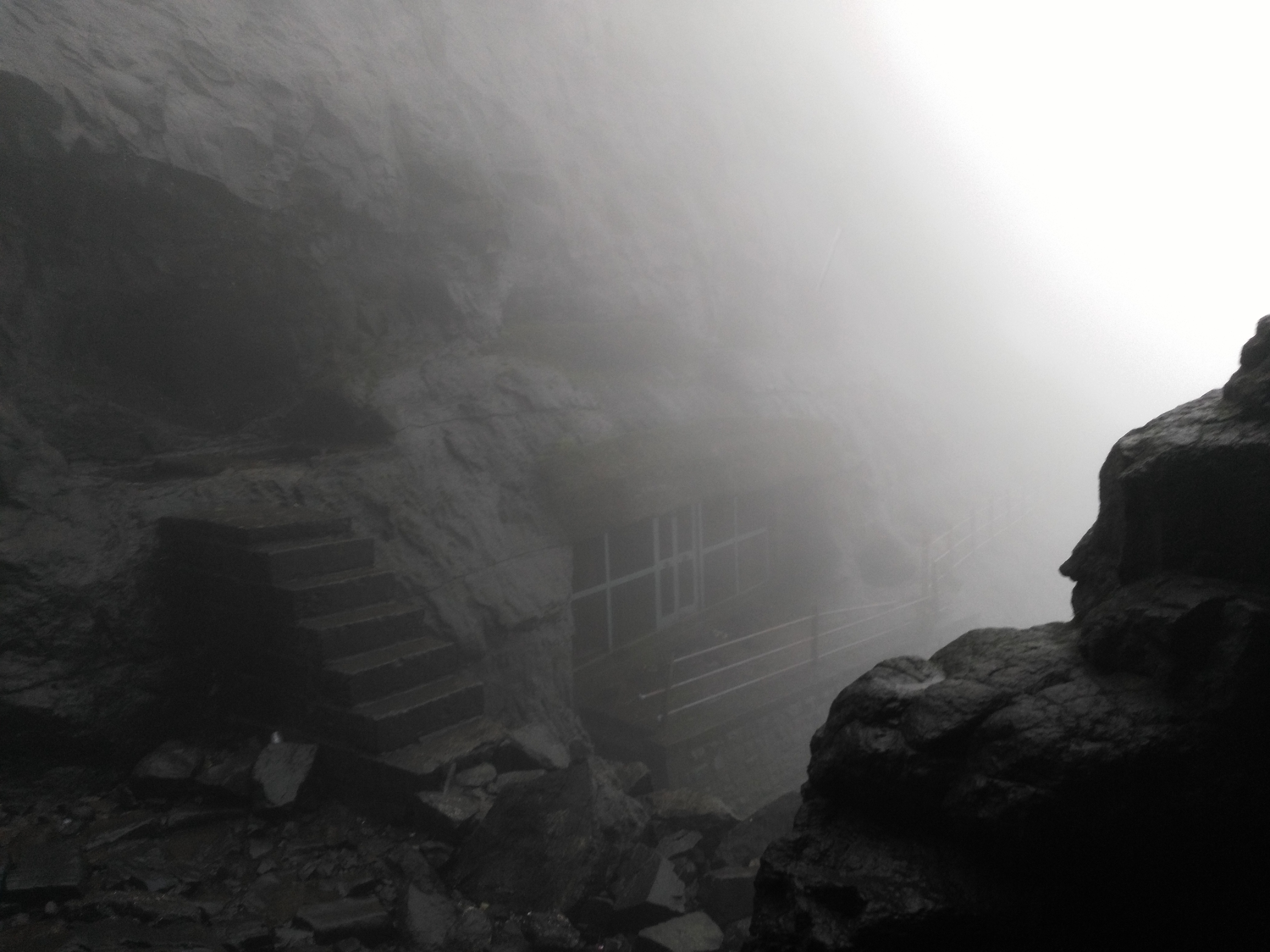
With good visibility conditions, you should be able to spot Fort Jivdhan, Dhakoba peak, gorakhgad, bhimashankar range, harishchandragad, ajoba peak, kalsubai peak from here. However, for most of the monsoon, naneghat is covered in fog, with heavy winds. (I once almost crawled while descending because heavy winds!)
Note :
- With the recent regulations, it’s not allowed to stay in the caves during night. There are many houses near the top where staying arrangements can be made.
- There are wild animals in this area. So, nothing to be worried about, just keep your eyes open! You might save that hefty trip to a sanctuary if you could spot some animals here.
1 hour 15 min are enough to descend to highway (base) from Caves.
Naneghat is sort of a “Damn let’s go somewhere, I am bored” type place. It’s not so crowded (except during monsoon weekends), easy trek, gives quite great view, have wild animals around (so…adventure!) And if you are too bored, you can reach here by bike/car/bus as well!

Happy Trekking!
